Article Title :
Application of TPI for Analysis of Landforms and LULC of Adama Wereda Ethiopia 
2 (2018)
100-109
Digital Elevation Model , Topographic Position Index , LULC , Landforms , Remote Sensing , Landsat , SRTM


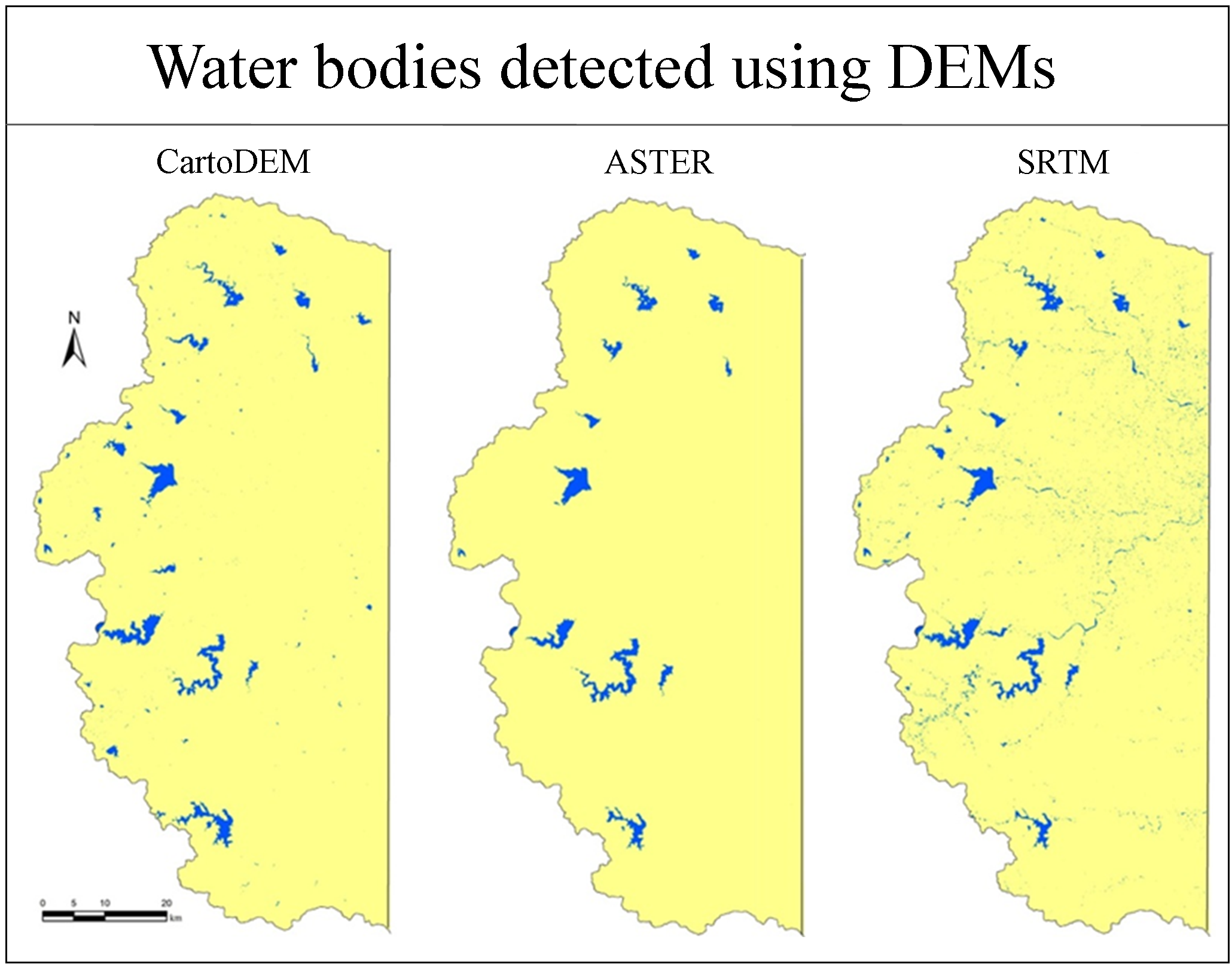
Topographic Position Index (TPI) algorithm is useful for landform classification using Digital Elevation Model (DEM) to identify upper, middle and lower parts of the landscape. Topographic slope positions and landform classifications can be automated and measured by employing the Jenness algorithm based on the Set of Rules in the TPI. Adama Wereda in Ethiopia has been selected to study the different landforms classified using DEM (30m resolution) and Landsat 8 OLI data. Spatial statistics and GIS applications were also used to distinguish the geomorphologic properties of DEM. Adama Wereda encompasses 2.15% of the valley, 33.79% of flat lands, 15.85 % of lower slope, 33.07% of average slope, 12.85% of upper slope and 2.24% of ridges. Nine land use and land cover (LULC) classes, specifically rocky terrain, built up area, forests, water bodies, roads, agriculture, barren land, hill/mountain and fallow land have been analyzed. Landforms of Adama Wereda are ranging from large-scale features such as plains and mountain ranges to minor features such as hills and valleys. The built-up area and agriculture are covering most of the landform classes. U shaped valley was observed in water bodies. The various classifications of TPI and landform can be used in precision agriculture, land-use alteration studies, etc.

Topographic Position Index (TPI) algorithm is useful for automated landform classification, measurement of the topographic slope positions and studying the several characteristics of elevation values.
Topographic slope positions and landform classifications can be automated and measured by employing the Jenness algorithm based on the Set of Rules in the TPI.
SRTM DEM and Landsat 8 OLI datasets were used for analysis of landforms and LULC.
The built-up area and agriculture are covering most of the landform classes.
Cross section and longitudinal profiles on different elevation intersection give realistic understanding of the terrain.
TPI algorithm is useful for monitoring of floods, agricultural activities and urban development.
Anderson, L., 2018. Planning the built Environment. Routledge.
Brabyn, L., 1996. Landscape classification using GIS and national digital databases. Landscape Research, 21(3), 277-300.
Cai, Z., 1986. The suggestion of basic geomorphological types according to relative height. IGCAS [Institute of Geographic, Chinese Academy of Sciences], editor. Geomorphological Mapping Research. Surveying and Mapping Press, Beijing, China, 90-97.
Grohmann, C., 2017. Comparison of roving-window and search-window techniques for characterising landscape morphometry.
McDonald, R. C., Isbell, R. F., Speight, J. G., Walker, J. and Hopkins, M. S., 1998. Australian soil and land survey: field handbook (Ed. 2). CSIRO publishing.
Mokarram, M., Seif, A. and Sathyamoorthy, D., 2015. Landform classification of zagros mountains using multiscale analysis of digital elevation models. Creating: A Vibrant Space Industry for Malaysia. The Need for A Space Act, 30.
The Gale Group Inc., 2002. Mountains. In: Science of Everyday Things. Accessed on 6th December 2018.
Ventura, S. J. and Irvin, B. J., 2000. Automated landform classification methods for soil-landscape studies. Terrain analysis: principles and applications, 267-294.
Werbrouck, I., Antrop, M., Van Eetvelde, V., Stal, C., De Maeyer, P., Bats, M., Bourgeois, J., Court-Picon, M., Crombé, P., De Reu, J. and De Smedt, P., 2011. Digital elevation model generation for historical landscape analysis based on LiDAR data, a case study in Flanders (Belgium). Expert Systems with Applications, 38(7), 8178-8185.